H69.38.1723
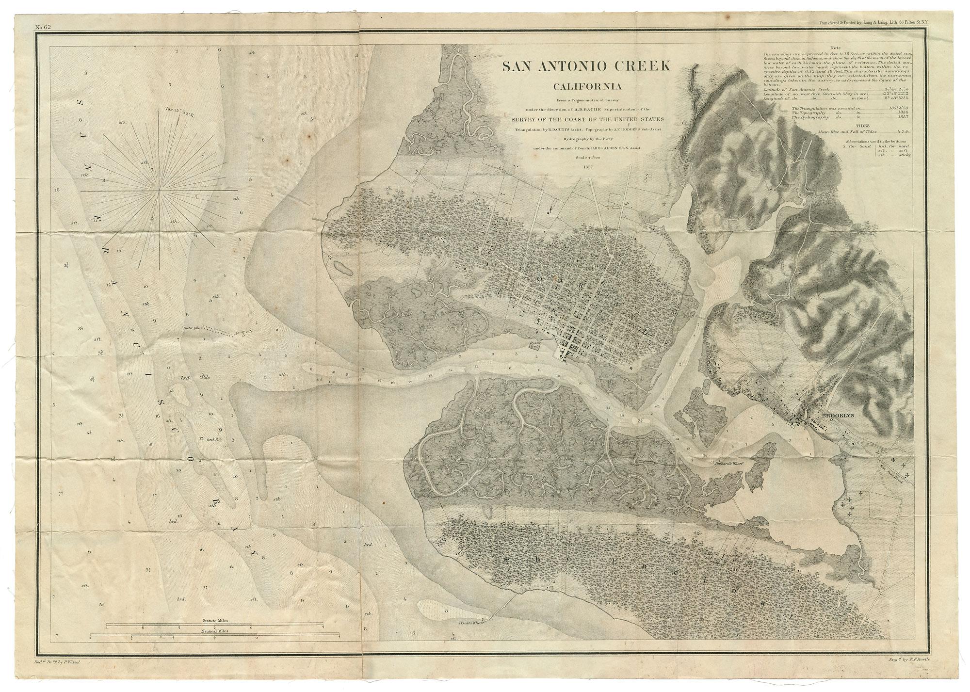
This is a topographical map which also shows water depths along the coasts of Oakland, Alameda, and San Antonio Creek. The towns of Oakland and Brooklyn are shown; there appears to be no settlement yet in Alameda (The Encinal).
Used: William F. Boardman

© 2024 Oakland Museum of California
RIGHTS AND REPRODUCTION