H69.38.2076
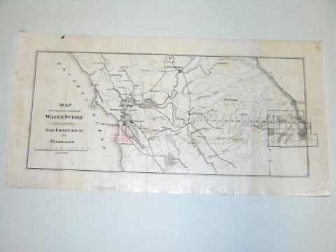
Map showing source and lines of Water Supply proposed for San Francisco and Oakland
1875-1900
8.5 in HIGH x 16.75 in WIDE
(21.59 cm HIGH x 42.54 cm WIDE)
(21.59 cm HIGH x 42.54 cm WIDE)
Gift of Mr. William G. Boardman
H69.38.2076
This map is basically the same as 2075 and shows the proposed pipeline from the reservoir near LaGrange to Oakland. This map shows the proposed line in yellow and then an inset is included with a blue line leading into Yosemite nearLake Eleanor and the Hetch Hetchy Reservoir. Some annotations in red have been made.
Used: William F. Boardman

© 2024 Oakland Museum of California
RIGHTS AND REPRODUCTION

